UK Obstacle Data – QGIS and SQL Azure

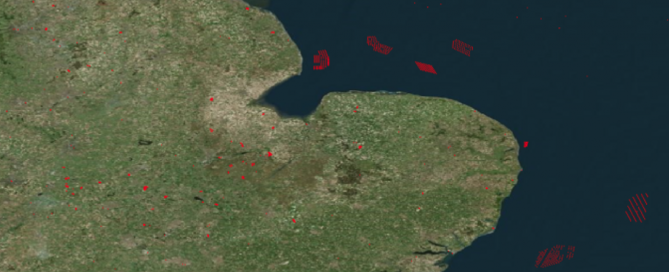
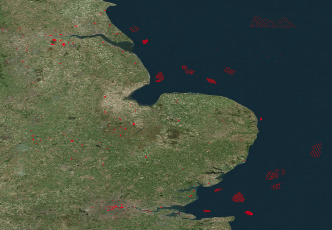
A support question arrived asking about adding data into a spatial database, as it happens a article was written a while back on LinkedIn. In short, the GeoMapElements (Point, Circle, Line, Polygon, LineString, etc) are easily added to a spatial database using the method AsGeography(). The article describes how data contained in a Excel spreadsheet [...]

2022-05-22T15:08:23+00:00May 22nd, 2022|FPAssistant SDK/API News, General News|

Tech View into 2021

2021 has now arrived and yesterday the UK was out into another Lockdown to try and prevent the spread of Covid-19. 2020 was a difficult year for most business and people, CADology survived and we were able to continue adding features into FPAssistant Suite and learn about new software and tech. ARM & possibly not [...]

2021-01-05T15:01:12+00:00January 5th, 2021|General News|